
Baza Nurkowa Honoratka
INTERACTIVE DIVE SITE MAP
62-561 Władysławów
FIND THIS SPOT
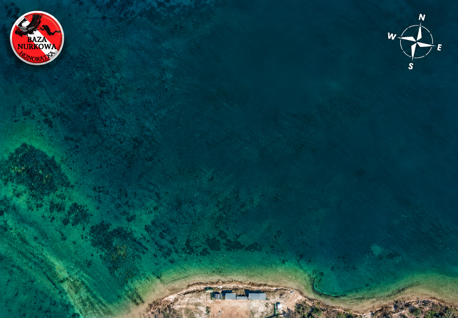
MAP LEGEND
Platform
 Yellow Buoy
 Entry/Exit
 Attraction
Guide Line
 Junction
3D Scan
Tree
DIVE SITE DATA
MAX DEPTH44m
VISIBILITY8–15m (dep. on season)
WATER TEMPERATUREBottom: 4–6°C
ACCESSEasy
SITE TYPEOpen-pit mine
DIFFICULTYMedium
ABOUT THIS SITE
The Honoratka Diving Base was born from the dream of a few enthusiasts who wanted to create the perfect diving spot. This unique site was established in the flooded and reclaimed crater of the former Pątnów open-pit coal mine, which operated from 1962 to 2001 and was once one of the largest mining sites in the region.
Opening HoursMon–Fri 09:30–17:30Sat–Sun 09:00–17:30Please call before arrival
CONTACT & SOCIAL
Opening HoursMon–Fri 09:30–17:30Sat–Sun 09:00–17:30Please call before arrival
SELECTED 3D SCAN
Select an object on the map to explore its 3D scan and photos.
VIEW FULL SCAN ↗
ROUTE PLANNER
Select an Entry / Exit to start, then choose attractions. The shortest connected guide-line path is calculated automatically.
ROUTE INFORMATION
Select a starting point and attractions to see route details.
Visual route only. No calibrated scale or verified bearings; not for underwater navigation.
